
Hovden topographic map
Interactive map
Click on the map to display elevation.
About this map
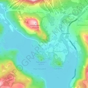
Name: Hovden topographic map, elevation, terrain.
Location: Hovden, Bykle, East Agder, 4755, Norway (59.53538 7.31634 59.57538 7.35634)
Average elevation: 833 m
Minimum elevation: 750 m
Maximum elevation: 1,113 m