
Lac-Saint-Paul topographic map
Interactive map
Click on the map to display elevation.
About this map
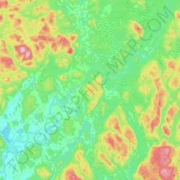
Name: Lac-Saint-Paul topographic map, elevation, terrain.
Location: Lac-Saint-Paul, Antoine-Labelle, Laurentides, Quebec, Canadá (46.65960 -75.37761 46.88541 -75.09600)
Average elevation: 299 m
Minimum elevation: 208 m
Maximum elevation: 534 m