
Cerros de Vera topographic map
Interactive map
Click on the map to display elevation.
About this map
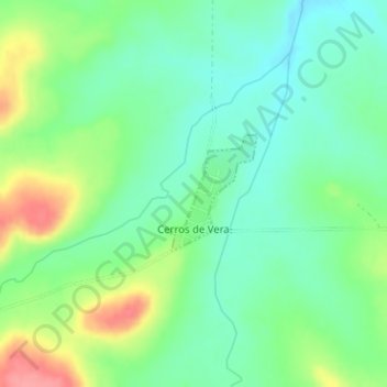
Name: Cerros de Vera topographic map, elevation, terrain.
Location: Cerros de Vera, Salto, 50032, Uruguay (-31.60472 -56.81580 -31.59661 -56.80876)
Average elevation: 169 m
Minimum elevation: 140 m
Maximum elevation: 226 m