
Lucavsala topographic map
Interactive map
Click on the map to display elevation.
About this map
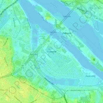
Name: Lucavsala topographic map, elevation, terrain.
Location: Lucavsala, Riga, Vidzeme, Latvia (56.91877 24.10796 56.93322 24.13153)
Average elevation: 5 m
Minimum elevation: -2 m
Maximum elevation: 17 m
Other topographic maps
Click on a map to view its topography, its elevation and its terrain.