
Matapalo topographic map
Interactive map
Click on the map to display elevation.
About this map
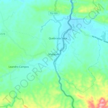
Name: Matapalo topographic map, elevation, terrain.
Location: Matapalo, District of Zarumilla, Tumbes, Peru (-3.72237 -80.23941 -3.64237 -80.15941)
Average elevation: 84 m
Minimum elevation: 41 m
Maximum elevation: 235 m