
Spey River topographic map
Interactive map
Click on the map to display elevation.
About this map
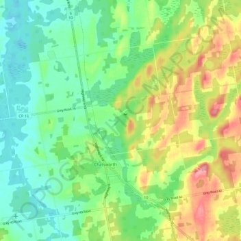
Name: Spey River topographic map, elevation, terrain.
Location: Spey River, Chatsworth, Grey County, Ontario, Canada (44.44210 -80.93664 44.49793 -80.82839)
Average elevation: 300 m
Minimum elevation: 263 m
Maximum elevation: 362 m