
Hala topographic map
Click on the map to display elevation.
About this map
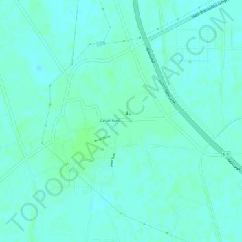
Name: Hala topographic map, elevation, terrain.
Location: Hala, Hala Taluka, Matiari District, Sindh, 70120, Pakistan (25.80138 68.41467 25.82846 68.43831)
Average elevation: 27 m
Minimum elevation: 23 m
Maximum elevation: 30 m
Other topographic maps
Click on a map to view its topography, its elevation and its terrain.