
Heuvel topographic map
Interactive map
Click on the map to display elevation.
About this map
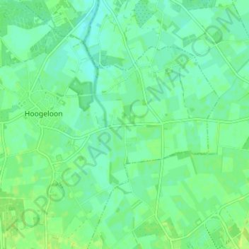
Name: Heuvel topographic map, elevation, terrain.
Average elevation: 27 m
Minimum elevation: 21 m
Maximum elevation: 33 m
Other topographic maps
Click on a map to view its topography, its elevation and its terrain.
De zwarte berg
Nederland > Noord-Brabant > Hoogeloon > Heieind
De zwarte berg, Groenstraat, Heieind, Hoogeloon, Bladel, Noord-Brabant, Nederland, 5528 NS, Nederland
Average elevation: 26 m