
Eaglewood Estates topographic map
Interactive map
Click on the map to display elevation.
About this map
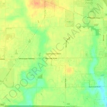
Name: Eaglewood Estates topographic map, elevation, terrain.
Location: Eaglewood Estates, Boone County, Indiana, 46077, USA (39.93143 -86.33305 39.97143 -86.29305)
Average elevation: 279 m
Minimum elevation: 257 m
Maximum elevation: 294 m