
East Kotawaringin topographic map
Interactive map
Click on the map to display elevation.
About this map
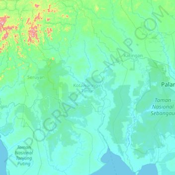
Name: East Kotawaringin topographic map, elevation, terrain.
Location: East Kotawaringin, Central Kalimantan, Kalimantan, Indonesia (-3.29991 112.06569 -1.19294 113.26966)
Average elevation: 43 m
Minimum elevation: -3 m
Maximum elevation: 991 m
Other topographic maps
Click on a map to view its topography, its elevation and its terrain.