
Sipperhausen topographic map
Interactive map
Click on the map to display elevation.
About this map
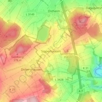
Name: Sipperhausen topographic map, elevation, terrain.
Average elevation: 319 m
Minimum elevation: 223 m
Maximum elevation: 404 m
Other topographic maps
Click on a map to view its topography, its elevation and its terrain.
Obermelsungen
Deutschland > Hessen > Schwalm-Eder-Kreis
Obermelsungen, Melsungen, Schwalm-Eder-Kreis, Hessen, 34212, Deutschland
Average elevation: 249 m