
Rütli topographic map
Interactive map
Click on the map to display elevation.
About this map
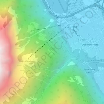
Name: Rütli topographic map, elevation, terrain.
Location: Rütli, Seedorf (UR), Uri, 6462, Schweiz (46.86890 8.58878 46.88890 8.60878)
Average elevation: 928 m
Minimum elevation: 428 m
Maximum elevation: 2,133 m