
Rukiri topographic map
Interactive map
Click on the map to display elevation.
About this map
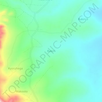
Name: Rukiri topographic map, elevation, terrain.
Location: Rukiri, Ntungamo, Western Region, Uganda (-1.08780 30.13691 -1.04780 30.17691)
Average elevation: 1,488 m
Minimum elevation: 1,419 m
Maximum elevation: 1,685 m