
Zielonka topographic map
Interactive map
Click on the map to display elevation.
About this map
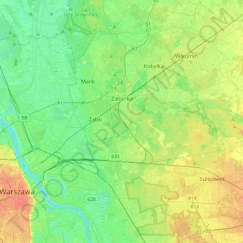
Name: Zielonka topographic map, elevation, terrain.
Location: Zielonka, Wołomin County, Masovian Voivodeship, Poland (52.25618 21.12229 52.32654 21.45936)
Average elevation: 93 m
Minimum elevation: 73 m
Maximum elevation: 132 m