
Horssen topographic map
Interactive map
Click on the map to display elevation.
About this map
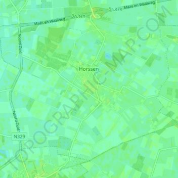
Name: Horssen topographic map, elevation, terrain.
Location: Horssen, Druten, Geldern, Niederlande (51.83627 5.57727 51.86939 5.64320)
Average elevation: 7 m
Minimum elevation: 2 m
Maximum elevation: 11 m