
Thank you for supporting this site ❤️
Make a donation
Make a donation
Gear up for your next adventure:
As an Amazon Associate, this site earns from qualifying purchases at no extra cost to you.
Dogaachhi topographic map
Click on the map to display elevation.
Thank you for supporting this site ❤️
Make a donation
Make a donation
Gear up for your next adventure:
As an Amazon Associate, this site earns from qualifying purchases at no extra cost to you.
About this map
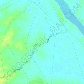
Name: Dogaachhi topographic map, elevation, terrain.
Location: Dogaachhi, Sagardighi, Murshidabad, West Bengal, India (24.35998 88.12908 24.37648 88.15225)
Average elevation: 25 m
Minimum elevation: 18 m
Maximum elevation: 38 m
Thank you for supporting this site ❤️
Make a donation
Make a donation
Gear up for your next adventure:
As an Amazon Associate, this site earns from qualifying purchases at no extra cost to you.