
Walīdād topographic map
Interactive map
Click on the map to display elevation.
About this map
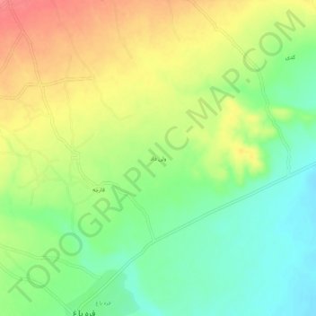
Name: Walīdād topographic map, elevation, terrain.
Location: Walīdād, Qarabagh, Ghazni Province, Afghanistan (33.19750 68.09919 33.23750 68.13919)
Average elevation: 2,097 m
Minimum elevation: 2,064 m
Maximum elevation: 2,136 m