
Karshi topographic map
Interactive map
Click on the map to display elevation.
About this map
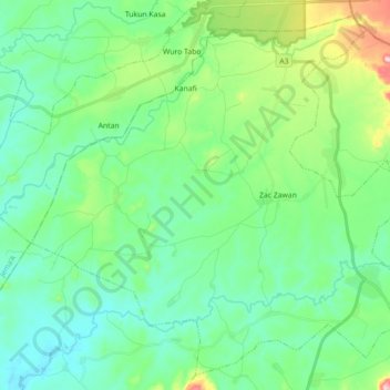
Name: Karshi topographic map, elevation, terrain.
Location: Karshi, Sanga, Kaduna State, Nigeria (9.33780 8.43140 9.49924 8.60878)
Average elevation: 537 m
Minimum elevation: 476 m
Maximum elevation: 737 m