
Mawlasnai topographic map
Interactive map
Click on the map to display elevation.
About this map
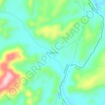
Name: Mawlasnai topographic map, elevation, terrain.
Location: Mawlasnai, Umsning, Ri-Bhoi, Meghalaya, 793116, India (25.71067 92.12118 25.75067 92.16118)
Average elevation: 874 m
Minimum elevation: 793 m
Maximum elevation: 1,080 m