
Ozone Layer Dam topographic map
Interactive map
Click on the map to display elevation.
About this map
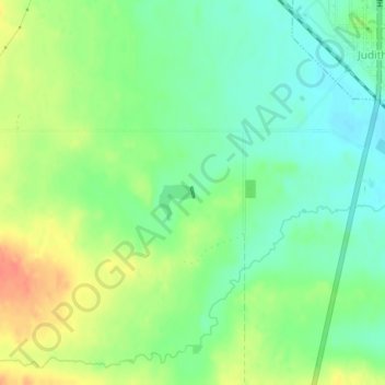
Name: Ozone Layer Dam topographic map, elevation, terrain.
Location: Ozone Layer Dam, Wheatland County, Montana, United States (46.66707 -109.77164 46.66783 -109.77132)
Average elevation: 1,413 m
Minimum elevation: 1,394 m
Maximum elevation: 1,440 m