Geolocate

Juncais topographic map

Click on the map to display elevation.

About this map
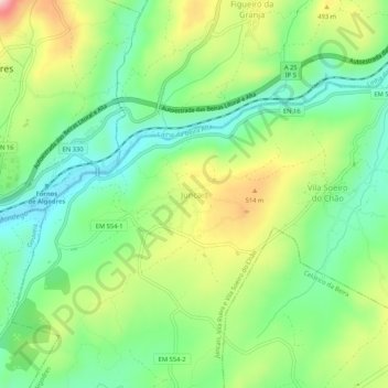
Name: Juncais topographic map, elevation, terrain.

Location: Juncais, Juncais, Vila Ruiva e Vila Soeiro do Chão, Fornos de Algodres, Guarda, 6370-333, Portugal (40.58951 -7.52707 40.62951 -7.48707)

Average elevation: 427 m

Minimum elevation: 329 m

Maximum elevation: 593 m

Other topographic maps

Click on a map to view its topography, its elevation and its terrain.

Gear up for your next adventure:

🧥Softshell Jackets - Breathable jackets for active outdoor use
🧣Neck Gaiters - Versatile protection against wind and cold
👟Waterproof Leg Gaiters - Keep mud and water out of your boots in boggy terrain
📷Camera Straps - Secure straps for carrying cameras while walking
📱Rugged Phone Cases - Heavy-duty protection for smartphones used as secondary GPS tools

As an Amazon Associate, this site earns from qualifying purchases at no extra cost to you.