Geolocate

Basudebpur topographic map

Click on the map to display elevation.

About this map

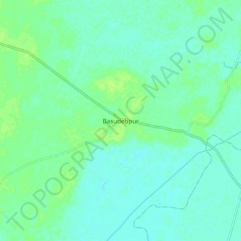
Name: Basudebpur topographic map, elevation, terrain.

Location: Basudebpur, Bhadrak, Odisha, 756125, India (21.08458 86.69899 21.16458 86.77899)

Average elevation: 4 m

Minimum elevation: 0 m

Maximum elevation: 10 m

Gear up for your next adventure:

👖Convertible Hiking Trousers - Versatile zip-off pants for changing mountain weather conditions
🖼️Topographic Map Art - Decorative 3D-effect posters of famous UK peaks and regions
🗺️Ordnance Survey Maps - Essential paper maps for hiking across the UK national parks
🧵Survival Paracord - Multi-purpose cordage for emergency repairs and shelters
🧷Tenacious Repair Tape - Instant fix for torn tents, jackets, or dry bags

As an Amazon Associate, this site earns from qualifying purchases at no extra cost to you.