
Middelkerke topographic map
Interactive map
Click on the map to display elevation.
About this map
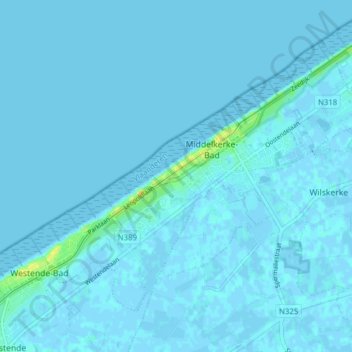
Name: Middelkerke topographic map, elevation, terrain.
Location: Middelkerke, Ostende, Flandre-Occidentale, Flandre, Belgique (51.16436 2.77398 51.20204 2.85183)
Average elevation: 1 m
Minimum elevation: -4 m
Maximum elevation: 20 m