Geolocate

Muvatupuzha topographic map

Click on the map to display elevation.

About this map

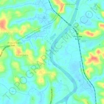
Name: Muvatupuzha topographic map, elevation, terrain.

Location: Muvatupuzha, Velloor, Vaikom, Kottayam District, Kerala, India (9.80086 76.44411 9.84261 76.45667)

Average elevation: 14 m

Minimum elevation: -3 m

Maximum elevation: 53 m

Gear up for your next adventure:

🧣Neck Gaiters - Protects against wind and sun on exposed ridges and peaks
🐕Hiking Dog Harnesses - Rugged harnesses for taking your companion on mountain trails
🔥Reusable Hand Warmers - Maintain dexterity in your fingers for precise map handling
🧭Emergency Beacons - Safety beacons for remote outdoor locations
👟Waterproof Leg Gaiters - Keep mud and water out of your boots in boggy terrain

As an Amazon Associate, this site earns from qualifying purchases at no extra cost to you.