Geolocate

Kosigi topographic map

Click on the map to display elevation.

About this map

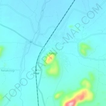
Name: Kosigi topographic map, elevation, terrain.

Location: Kosigi, Kurnool District, Andhra Pradesh, 518313, India (15.83420 77.22298 15.87420 77.26298)

Average elevation: 385 m

Minimum elevation: 359 m

Maximum elevation: 592 m

Gear up for your next adventure:

🔋Rechargeable Batteries - Eco-friendly power for headlamps and older GPS units
🦟Anti-Midge & Tick Repellent - Vital for hiking in the Scottish Highlands during summer
🎿Telescopic Trekking Poles - Reduces knee strain on steep topographic descents
📐Altimeters & Barometers - Tools for measuring altitude and air pressure
🎒Replacement Sternum Straps - Repair parts for hiking rucksacks

As an Amazon Associate, this site earns from qualifying purchases at no extra cost to you.