
Rehetobel topographic map
Interactive map
Click on the map to display elevation.
About this map
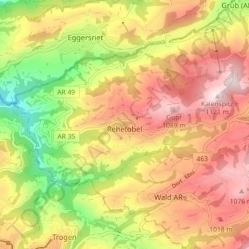
Name: Rehetobel topographic map, elevation, terrain.
Location: Rehetobel, Vorderland, Appenzell Ausserrhoden, 9038, Schweiz (47.41688 9.45192 47.43805 9.51548)
Average elevation: 886 m
Minimum elevation: 618 m
Maximum elevation: 1,111 m