
Damongo topographic map
Interactive map
Click on the map to display elevation.
About this map
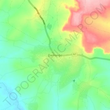
Name: Damongo topographic map, elevation, terrain.
Location: Damongo, West Gonja Municipal District, Savannah Region, Ghana (9.04506 -1.86008 9.12506 -1.78008)
Average elevation: 205 m
Minimum elevation: 147 m
Maximum elevation: 309 m