
Beavertail State Park topographic map
Interactive map
Click on the map to display elevation.
About this map
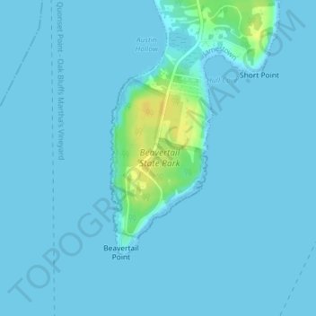
Name: Beavertail State Park topographic map, elevation, terrain.
Location: Beavertail State Park, Jamestown, Newport, Rhode Island, USA (41.45031 -71.40087 41.46389 -71.39009)
Average elevation: 2 m
Minimum elevation: -2 m
Maximum elevation: 21 m