Geolocate

Solana topographic map

Click on the map to display elevation.

About this map

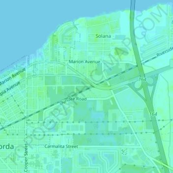
Name: Solana topographic map, elevation, terrain.

Location: Solana, Punta Gorda, Charlotte County, Florida, United States (26.92679 -82.03944 26.95140 -82.01506)

Average elevation: 3 m

Minimum elevation: 0 m

Maximum elevation: 7 m

Other topographic maps

Click on a map to view its topography, its elevation and its terrain.

Gear up for your next adventure:

🧺Mesh Stuff Sacks - Breathable storage for wet gear or camp organization
📱Phone Mounts for Hiking - Secure mounts to carry your phone on trails
🥤Hiking Water Bottles - Reusable bottles for hydration on the trail
🪓Outdoor Multitools - Versatile tools for hiking and camping
🥤Collapsible Water Bottles - Save space in your rucksack as you consume your water

As an Amazon Associate, this site earns from qualifying purchases at no extra cost to you.