Geolocate

Igan topographic map

Click on the map to display elevation.

About this map
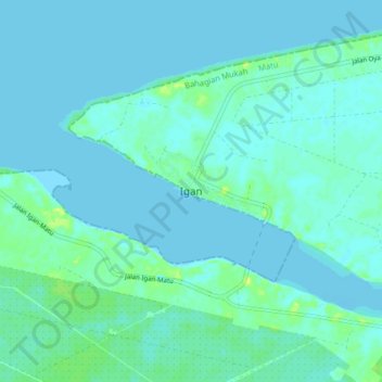
Name: Igan topographic map, elevation, terrain.

Location: Igan, Matu, Mukah Division, Sarawak, Malaysia (2.78125 111.66631 2.86125 111.74631)

Average elevation: 3 m

Minimum elevation: -3 m

Maximum elevation: 16 m

Gear up for your next adventure:

🧴Tick Removal Tools - Small, essential health tool for UK woodland and moorland
🪓Outdoor Multitools - Versatile tools for hiking and camping
🧘Folding Sit Mats - Dry and warm seat for map-reading breaks on damp ground
👕Merino Base Layers - Natural temperature regulation for cold weather hiking and camping
⛺Lightweight Tents - Compact tents for backpacking and trekking

As an Amazon Associate, this site earns from qualifying purchases at no extra cost to you.