
Make a donation
Gear up for your next adventure:
As an Amazon Associate, this site earns from qualifying purchases at no extra cost to you.
Saint-Leu topographic map
Click on the map to display elevation.
Make a donation
Gear up for your next adventure:
As an Amazon Associate, this site earns from qualifying purchases at no extra cost to you.
Saint-Leu
Le territoire communal s'étend du « battant des lames au sommet des montagnes » et culmine à 2 787 mètres d'altitude, à proximité immédiate du sommet du Grand Bénare. Il est limitrophe de ceux des Avirons, Cilaos et Trois-Bassins.
Make a donation
Gear up for your next adventure:
As an Amazon Associate, this site earns from qualifying purchases at no extra cost to you.
About this map
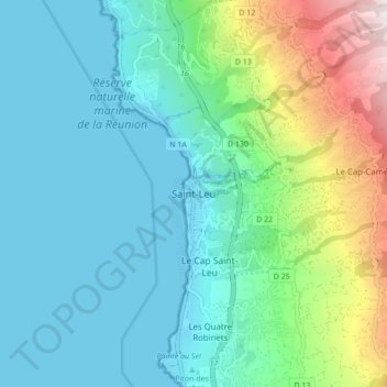
Name: Saint-Leu topographic map, elevation, terrain.
Location: Saint-Leu, Saint-Paul, La Réunion, 97436, France (-21.20777 55.24819 -21.12777 55.32819)
Average elevation: 272 m
Minimum elevation: 0 m
Maximum elevation: 1,237 m
Make a donation
Gear up for your next adventure:
As an Amazon Associate, this site earns from qualifying purchases at no extra cost to you.