
Senga topographic map
Interactive map
Click on the map to display elevation.
About this map
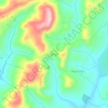
Name: Senga topographic map, elevation, terrain.
Location: Senga, Ruyigi, Burundi (-3.40591 30.19226 -3.36591 30.23226)
Average elevation: 1,627 m
Minimum elevation: 1,536 m
Maximum elevation: 1,807 m