
Bolton topographic map
Interactive map
Click on the map to display elevation.
About this map
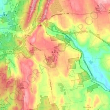
Name: Bolton topographic map, elevation, terrain.
Location: Bolton, Tolland County, Connecticut, United States (41.72731 -72.47347 41.80657 -72.40362)
Average elevation: 183 m
Minimum elevation: 91 m
Maximum elevation: 263 m