
Kneiff topographic map
Interactive map
Click on the map to display elevation.
About this map
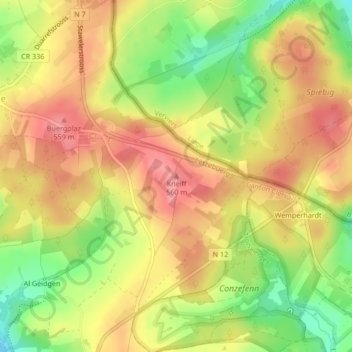
Name: Kneiff topographic map, elevation, terrain.
Location: Kneiff, Troisvierges, Canton Clervaux, 9999, Luxembourg (50.15768 6.03704 50.15778 6.03714)
Average elevation: 524 m
Minimum elevation: 471 m
Maximum elevation: 561 m