Geolocate

Pagsanjan topographic map

Click on the map to display elevation.

About this map

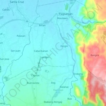
Name: Pagsanjan topographic map, elevation, terrain.

Location: Pagsanjan, Laguna, Calabarzon, 4008, Philippines (14.20117 121.40776 14.28307 121.47364)

Average elevation: 60 m

Minimum elevation: -1 m

Maximum elevation: 314 m

Gear up for your next adventure:

🧢Hiking Hats - Sun and weather protection for outdoor walks
🗺️Ordnance Survey Maps - Official UK maps for walking and outdoor activities
🧥Waterproof Hiking Jackets - Rain protection for walking in all weather conditions
🪢Paracord - Multi-purpose cord for camping and survival
🌄Compact Monoculars - Lightweight optics for hiking

As an Amazon Associate, this site earns from qualifying purchases at no extra cost to you.