
Qantara topographic map
Interactive map
Click on the map to display elevation.
About this map
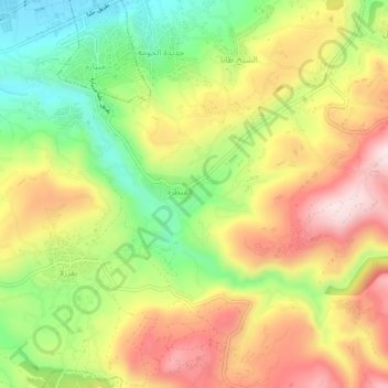
Name: Qantara topographic map, elevation, terrain.
Location: Qantara, Akkar District, Akkar Governorate, 1302, Lebanon (34.49808 36.05196 34.53808 36.09196)
Average elevation: 280 m
Minimum elevation: 72 m
Maximum elevation: 492 m