Geolocate

Moni topographic map

Click on the map to display elevation.

About this map

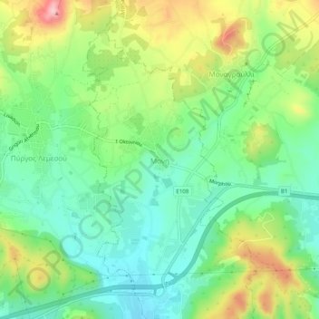
Name: Moni topographic map, elevation, terrain.

Location: Moni, Limassol District, Cyprus, 4525, Cyprus (34.71799 33.18200 34.75799 33.22200)

Average elevation: 90 m

Minimum elevation: 16 m

Maximum elevation: 222 m

Gear up for your next adventure:

🧴Sport Sunscreen Sticks - High-protection sunblock that won't run into your eyes on the trail
🥫Expedition Meals - Lightweight, high-calorie nutrition for long-distance hikers
👕Technical Hiking Tees - Moisture-management for high-exertion climbs
🧤Hiking Gloves - Warm and durable gloves for cold-weather walks
🥼Base Layers - Thermal base layers for temperature regulation

As an Amazon Associate, this site earns from qualifying purchases at no extra cost to you.