
Sumas Prairie topographic map
Click on the map to display elevation.
About this map
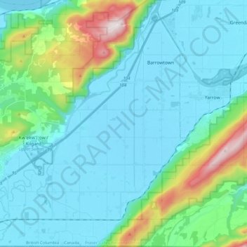
Name: Sumas Prairie topographic map, elevation, terrain.
Average elevation: 159 m
Minimum elevation: -2 m
Maximum elevation: 907 m
Other topographic maps
Click on a map to view its topography, its elevation and its terrain.
Sumas River
Canada > British Columbia > Fraser Valley Regional District > Abbotsford
Average elevation: 167 m
Abbotsford
Canada > British Columbia > Fraser Valley Regional District > Abbotsford
Average elevation: 115 m
Eagle Mountain
Canada > British Columbia > Fraser Valley Regional District > Abbotsford
Average elevation: 128 m