
Mekarwangi topographic map
Interactive map
Click on the map to display elevation.
About this map
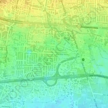
Name: Mekarwangi topographic map, elevation, terrain.
Location: Mekarwangi, Bojongloa Kidul, Bandung, West Java, Indonesia (-6.96178 107.59799 -6.94910 107.61121)
Average elevation: 678 m
Minimum elevation: 663 m
Maximum elevation: 692 m