
Authur topographic map
Interactive map
Click on the map to display elevation.
About this map
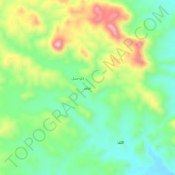
Name: Authur topographic map, elevation, terrain.
Location: Authur, Al Qabbaytah District, Lahij Governorate, Yemen (13.20358 44.49604 13.24358 44.53604)
Average elevation: 656 m
Minimum elevation: 557 m
Maximum elevation: 825 m