
Tixter topographic map
Interactive map
Click on the map to display elevation.
About this map
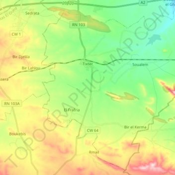
Name: Tixter topographic map, elevation, terrain.
Location: Tixter, Aïn Taghrout District, Bordj Bou Arreridj, Algeria (35.97017 5.04089 36.08919 5.19660)
Average elevation: 994 m
Minimum elevation: 874 m
Maximum elevation: 1,187 m