
Bordj Menaiel topographic map
Interactive map
Click on the map to display elevation.
About this map
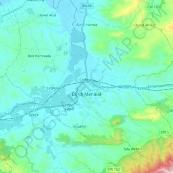
Name: Bordj Menaiel topographic map, elevation, terrain.
Location: Bordj Menaiel, Bordj Menaiel District, Boumerdès, 35001, Algeria (36.68014 3.66602 36.81777 3.81185)
Average elevation: 120 m
Minimum elevation: 1 m
Maximum elevation: 818 m