
Kherrata topographic map
Interactive map
Click on the map to display elevation.
About this map
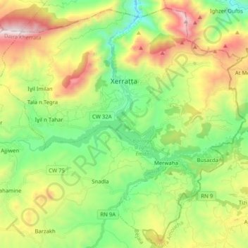
Name: Kherrata topographic map, elevation, terrain.
Location: Kherrata, Kherrata District, Bejaia, 06004, Algeria (36.41223 5.19733 36.53066 5.35427)
Average elevation: 813 m
Minimum elevation: 209 m
Maximum elevation: 1,845 m