
Lostant topographic map
Click on the map to display elevation.
About this map
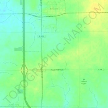
Name: Lostant topographic map, elevation, terrain.
Location: Lostant, LaSalle County, Illinois, United States (41.10454 -89.07490 41.14612 -89.05407)
Average elevation: 213 m
Minimum elevation: 202 m
Maximum elevation: 226 m