
Thal topographic map
Interactive map
Click on the map to display elevation.
About this map
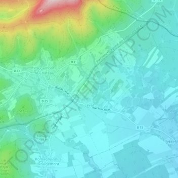
Name: Thal topographic map, elevation, terrain.
Average elevation: 459 m
Minimum elevation: 386 m
Maximum elevation: 762 m
Leval liegt auf 410 m Meereshöhe, etwa 14 Kilometer nordöstlich der Stadt Belfort (Luftlinie). Das ehemalige Straßenzeilendorf erstreckt sich im Norden der Burgundischen Pforte, auf dem Plateau im Vorland der Vogesen, am Ruisseau de Saint-Nicolas.