Geolocate

Awlad `Isa topographic map

Click on the map to display elevation.

About this map

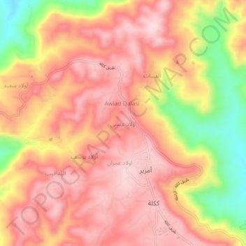
Name: Awlad `Isa topographic map, elevation, terrain.

Location: Awlad `Isa, Jabal al Gharbi, Libya (32.05583 12.66944 32.09583 12.70944)

Average elevation: 689 m

Minimum elevation: 487 m

Maximum elevation: 797 m

Gear up for your next adventure:

🥼Base Layers - Thermal base layers for temperature regulation
🧼Technical Clothing Wash - Special soap to clean and restore waterproof membranes
🔥Emergency Fire Starters - Reliable ignition tools for survival situations in damp conditions
🧺Microfibre Travel Towels - Fast-drying and compact towels for wild swimming and camping
🚶Walking Pedometers - Simple distance tracking for casual trail walkers

As an Amazon Associate, this site earns from qualifying purchases at no extra cost to you.