
Banashankari topographic map
Interactive map
Click on the map to display elevation.
About this map
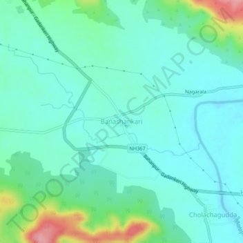
Name: Banashankari topographic map, elevation, terrain.
Average elevation: 555 m
Minimum elevation: 526 m
Maximum elevation: 658 m
Other topographic maps
Click on a map to view its topography, its elevation and its terrain.
Belur
India > Karnataka > Badami taluku
Belur, Badami taluku, Bagalkote district, Karnataka, 587114, India
Average elevation: 565 m
Badami
India > Karnataka > Badami taluku
Badami, Badami taluku, Bagalkote District, Karnataka, 587200, India
Average elevation: 587 m