
Belair topographic map
Interactive map
Click on the map to display elevation.
About this map
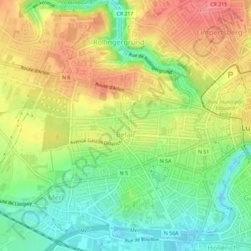
Name: Belair topographic map, elevation, terrain.
Location: Belair, Luxembourg, Canton Luxembourg, Luxembourg (49.60575 6.09166 49.61721 6.11998)
Average elevation: 301 m
Minimum elevation: 263 m
Maximum elevation: 341 m
Other topographic maps
Click on a map to view its topography, its elevation and its terrain.
Luxembourg City: Old Quarters & Fortifications
Luxembourg > Canton Luxembourg > Luxembourg
Average elevation: 294 m