
Matagami topographic map
Interactive map
Click on the map to display elevation.
About this map
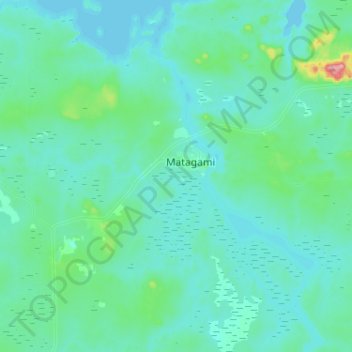
Name: Matagami topographic map, elevation, terrain.
Location: Matagami, Jamésie, Nord-du-Québec, Quebec, J0Y 2A0, Kanada (49.69568 -77.85302 49.80535 -77.59573)
Average elevation: 268 m
Minimum elevation: 245 m
Maximum elevation: 465 m