
Obersulzbachkees topographic map
Interactive map
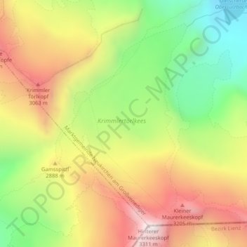
Click on the map to display elevation.
About this map
Name: Obersulzbachkees topographic map, elevation, terrain.
Average elevation: 2,757 m
Minimum elevation: 2,242 m
Maximum elevation: 3,291 m
Other topographic maps
Click on a map to view its topography, its elevation and its terrain.
Marktgemeinde Neukirchen am Großvenediger
Austria > Salzburg > Bezirk Zell am See > Marktgemeinde Neukirchen am Großvenediger
Marktgemeinde Neukirchen am Großvenediger, Bezirk Zell am See, Salzburg, 5741, Austria
Average elevation: 1,968 m